Image:LocationAfrica.png
Un article de Wikipédia, l'encyclopédie libre.
Taille de cet aperçu : 800 × 407 pixels
Image en plus haute résolution (2 759 × 1 404 pixels, taille du fichier : 99 Kio, type MIME : image/png)
| | Ce fichier provient de Wikimedia Commons?. Les informations le concernant sont affichées ci-dessous (procédure). |
[edit] Summary
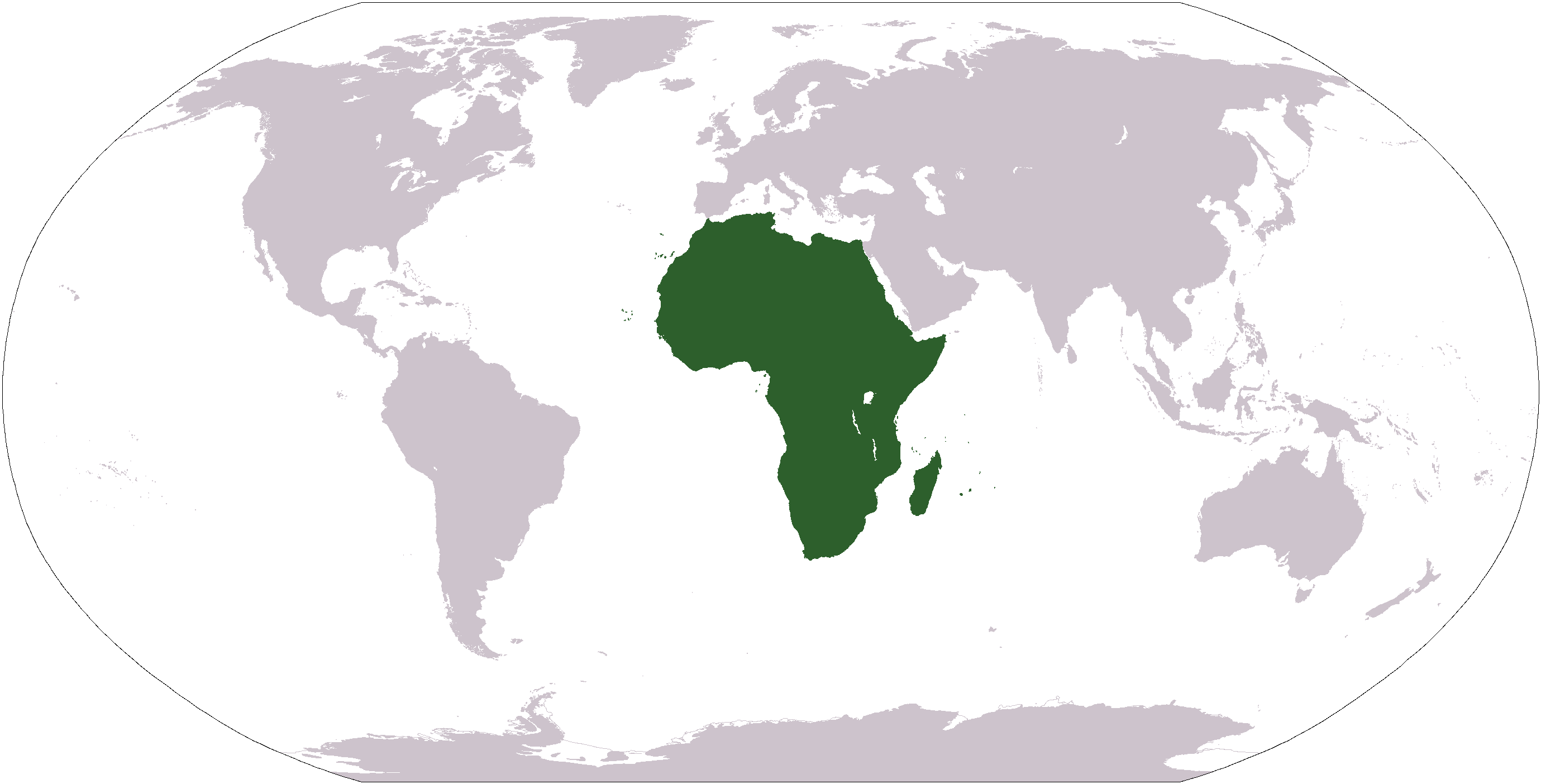
World map depicting Africa; map adapted from PDF world map at CIA World Fact Book
[edit] Licensing
| This image is in the public domain because it contains materials that originally came from the United States Central Intelligence Agency's World Factbook.
Deutsch | English | Español | Français | 日本語 | Nederlands | 한국어 | Português | தமிழ் | Magyar | +/- |
 |
Historique du fichier
Cliquer sur une date et une heure pour voir le fichier tel qu’il était à ce moment-là
| Date et heure | Dimensions | Utilisateur | Commentaire | |
|---|---|---|---|---|
| actuel | 19 janvier 2008 à 14:34 | 2 759×1 404 (99 Kio) | F l a n k e r | (Transparency) |
| 22 janvier 2006 à 07:15 | 2 759×1 404 (55 Kio) | E Pluribus Anthony | (Reverted to earlier revision) | |
| 16 janvier 2006 à 00:46 | 2 759×1 404 (84 Kio) | Huhsunqu | ||
| 3 novembre 2005 à 21:25 | 2 759×1 404 (55 Kio) | E Pluribus Anthony | (World map: Africa (location)) | |
| 8 octobre 2005 à 03:16 | 2 759×1 404 (55 Kio) | E Pluribus Anthony | (World map: Africa (location)) | |
| 29 avril 2005 à 17:54 | 250×116 (11 Kio) | Rex | (Eerdere versie hersteld) | |
| 29 avril 2005 à 17:20 | 1 381×703 (16 Kio) | Ghalas | (Corrected version {{PD-USGov-CIA-WF}}) | |
| 29 avril 2005 à 17:18 | 1 381×703 (16 Kio) | Ghalas | (Corrected version {{PD-USGov-CIA-WF}}) | |
| 29 avril 2005 à 17:06 | 1 377×699 (16 Kio) | Ghalas | (Extracted from CIA World Factbook PDF world map, then rasterized and colored. {{PD-USGov-CIA-WF}}) | |
| 9 janvier 2005 à 08:39 | 250×116 (11 Kio) | Tobias Conradi | (from en:User:Morwen {{GFDL}}) |
Pages contenant l’image
Les pages ci-dessous contiennent cette image :
- Afrique
- Géographie de l'Ouganda
- Histoire de la Mauritanie
- Liste des pays du monde
- Liste des pays du monde par continent
- Histoire de l'Égypte
- Politique de l'Égypte
- Géographie de l'Égypte
- Géographie de la Guinée équatoriale
- Histoire du Soudan
- Pont
- Géographie de l'Afrique du Sud
- Histoire de la Tunisie
- Histoire du Burundi
- Politique du Cameroun
- Politique du Sénégal
- Géographie du Cameroun
- Histoire du Gabon
- Histoire de l'Afrique
- Histoire de Djibouti
- Histoire de la Libye
- Monde (univers)
- Histoire du Togo
- Wikipédia:Palettes de navigation/Politique économie géographie
- Politique de la Tunisie
- Politique du Soudan
- Géographie de l'Afrique
- Histoire de la République centrafricaine
- Pont de Normandie
- Histoire de l'Éthiopie
- Histoire de Madagascar
- Politique de Madagascar
- Histoire de l'Afrique du Sud
- Histoire du Mali
- Géographie du Burkina Faso
- Histoire du Burkina Faso
- Politique du Mali
- Liste de ponts remarquables
- Pont de Tancarville
- Géographie du Soudan
- Géographie de l'Algérie
- Politique de la République démocratique du Congo
- Histoire du Niger
- Histoire du Rwanda
- Histoire de la Sierra Leone
- Politique de la Côte d'Ivoire
- Histoire du Botswana
- Histoire du Zimbabwe
- Politique du Rwanda
- Histoire du Cameroun
- Histoire du Bénin
- Pont Verrazano
- Politique du Mozambique
- Géographie du Lesotho
- Histoire du Tchad
- Politique du Maroc
- Géographie du Tchad
- Politique du Tchad
- Politique en Afrique du Sud
- Histoire du Kenya
- Histoire de la République démocratique du Congo
- Politique du Togo
- Liaison du Grand Belt
- Géographie du Malawi
- Histoire de la Gambie
- Politique de la République centrafricaine
- Politique du Bénin
- Politique du Cap-Vert
- Histoire du Ghana
- Pont du détroit d'Akashi
- Géographie de la Côte d'Ivoire
- Histoire de la Guinée
- Histoire de la République du Congo
- Liste de ponts du Canada
- Géographie du Maroc
- Géographie du Niger
- Williamsburg Bridge
- Géographie du Swaziland
- Bay Bridge
- Liste de ponts des États-Unis
- Liste de ponts d'Allemagne
- Politique du Burkina Faso
- Géographie de La Réunion
- Politique de Djibouti
- Histoire de l'Ouganda
- Géographie de la République démocratique du Congo
- Géographie de la République du Congo
- Géographie de la Tanzanie
- Histoire de l'Angola
- Géographie de l'Éthiopie
- Géographie du Rwanda
- Histoire du Libéria
- Géographie du Mali
- Histoire de Sao Tomé-et-Principe
- Géographie de l'Angola
- Politique de la Tanzanie
- Politique de l'Algérie
- Histoire du Mozambique
- Histoire de Maurice
- Politique du Kenya
Voir plus de liens vers cette image.

