Image:LocationRomanEmpire.png
Un article de Wikipédia, l'encyclopédie libre.
Taille de cet aperçu : 800 × 520 pixels
Image en plus haute résolution (1 084 × 705 pixels, taille du fichier : 34 Kio, type MIME : image/png)
| | Ce fichier provient de Wikimedia Commons?. Les informations le concernant sont affichées ci-dessous (procédure). |
| Description |
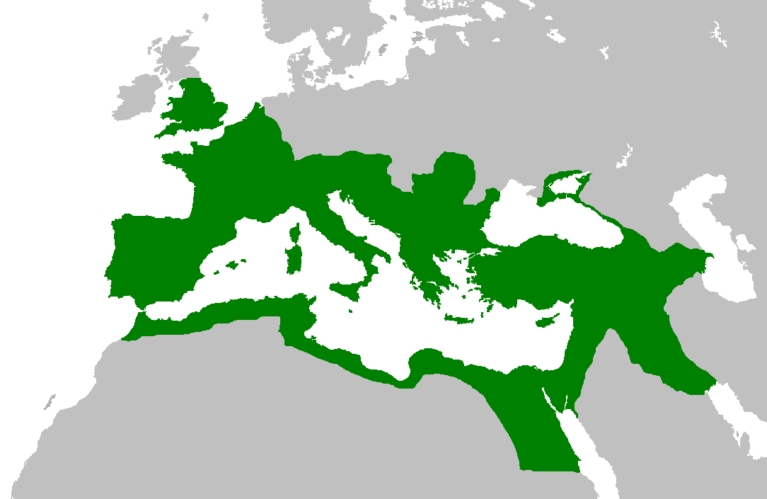
Map of the Roman Empire at its height, under Trajan. Suomi: Rooman valtakunta Trajanuksen aikana.
日本語: 117年(トラヤヌス帝の時代)のローマ帝国の最大領土
Português: Localização do Império Romano em sua extensão máxima.
|
|---|---|
| Source | |
| Date |
5 February 2007 |
| Author | |
| Permission (Reusing this image) |
|

Historique du fichier
Cliquer sur une date et une heure pour voir le fichier tel qu’il était à ce moment-là
| Date et heure | Dimensions | Utilisateur | Commentaire | |
|---|---|---|---|---|
| actuel | 2 juin 2007 à 16:44 | 1 084×705 (34 Kio) | Medievalista | (Ok, sorry, my mistake... here is the new map) |
| 2 juin 2007 à 16:42 | 1 084×705 (34 Kio) | Medievalista | (Update of the previous map: less of teritory in Africa, withdraw in Britain up to the future Hadrianic wall and improve the trace of the Rhine-Danube frontier) | |
| 5 février 2007 à 05:45 | 1 084×705 (35 Kio) | Jrockley | (lil bit more Africa, lil less Scandinavia ) | |
| 5 février 2007 à 05:28 | 1 259×756 (41 Kio) | Jrockley | (Much larger version, as faithful as possible) | |
| 9 août 2005 à 14:24 | 250×175 (8 Kio) | Kasper Holl | (Map of the location of the Roman Empire at its height, under Trajan. Made from the Blank Map World.) |
Pages contenant l’image
Les pages ci-dessous contiennent cette image :

