Image:LocationBritishIsles.png
Un article de Wikipédia, l'encyclopédie libre.
Taille de cet aperçu : 600 × 600 pixels
Image en plus haute résolution (1 245 × 1 245 pixels, taille du fichier : 52 Kio, type MIME : image/png)
| | Ce fichier provient de Wikimedia Commons?. Les informations le concernant sont affichées ci-dessous (procédure). |
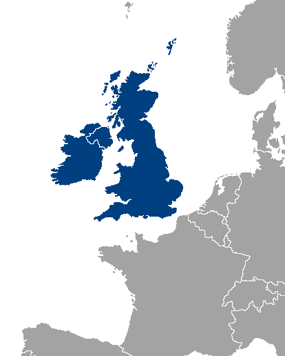
Location map of Great Britain and Ireland.
| This image has been (or is hereby) released into the public domain by its author, Vardion at the English Wikipedia project. This applies worldwide. In case this is not legally possible: |
Historique du fichier
Cliquer sur une date et une heure pour voir le fichier tel qu’il était à ce moment-là
| Date et heure | Dimensions | Utilisateur | Commentaire | |
|---|---|---|---|---|
| actuel | 17 septembre 2007 à 11:34 | 1 245×1 245 (52 Kio) | Sony-youth | (With the CI highlighted.) |
| 1 mai 2007 à 12:43 | 1 245×1 245 (33 Kio) | Tene | (Optimised (0)) | |
| 21 août 2006 à 04:51 | 1 245×1 245 (81 Kio) | Hoshie | (I have added Montenegro and removed Vojvodina, which is a part of Serbia) | |
| 10 juillet 2006 à 15:12 | 1 245×1 245 (81 Kio) | MPF | (new hi-res version ) | |
| 11 février 2005 à 19:19 | 250×115 (3 Kio) | Iota | (Location map of Great Britain and Ireland.) |
Pages contenant l’image
Les pages ci-dessous contiennent cette image :

