Image:LocationAntarctica.png
Un article de Wikipédia, l'encyclopédie libre.
Taille de cet aperçu : 800 × 407 pixels
Image en plus haute résolution (2 759 × 1 404 pixels, taille du fichier : 97 Kio, type MIME : image/png)
| | Ce fichier provient de Wikimedia Commons?. Les informations le concernant sont affichées ci-dessous (procédure). |
[edit] Summary
Español: Mapamundi mostrando la ubicación de la Antártida.
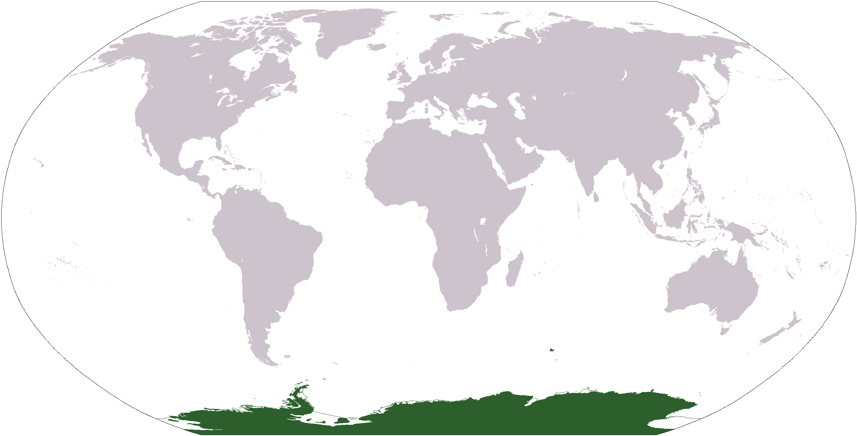
World map depicting Antarctica; map adapted from PDF world map at CIA World Fact Book.
Updated March 31, 2006 to remove green above 60°S line. in december there is 24 hours of sun lightInsert non-formatted text here
[edit] Licensing
| This image is in the public domain because it contains materials that originally came from the United States Central Intelligence Agency's World Factbook.
Deutsch | English | Español | Français | 日本語 | Nederlands | 한국어 | Português | தமிழ் | Magyar | +/- |
 |
adam ross lewis
Historique du fichier
Cliquer sur une date et une heure pour voir le fichier tel qu’il était à ce moment-là
| Date et heure | Dimensions | Utilisateur | Commentaire | |
|---|---|---|---|---|
| actuel | 19 janvier 2008 à 14:37 | 2 759×1 404 (97 Kio) | F l a n k e r | (Transparency) |
| 31 mars 2006 à 03:04 | 2 759×1 404 (55 Kio) | David Kernow | ||
| 20 décembre 2005 à 20:54 | 2 759×1 404 (50 Kio) | E Pluribus Anthony | (World map: Antarctica (location)) | |
| 28 avril 2005 à 14:38 | 2 759×1 404 (39 Kio) | Ghalas | (Extracted from CIA World Factbook PDF world map, then rasterized and colored. {{PD-USGov-CIA-WF}}) |
Pages contenant l’image
La page ci-dessous contient cette image :

