Image:Croatia map blank.png
Un article de Wikipédia, l'encyclopédie libre.
Taille de cet aperçu : 600 × 600 pixels
Image en plus haute résolution (2 400 × 2 400 pixels, taille du fichier : 281 Kio, type MIME : image/png)
| | Ce fichier provient de Wikimedia Commons?. Les informations le concernant sont affichées ci-dessous (procédure). |
[edit] Summary
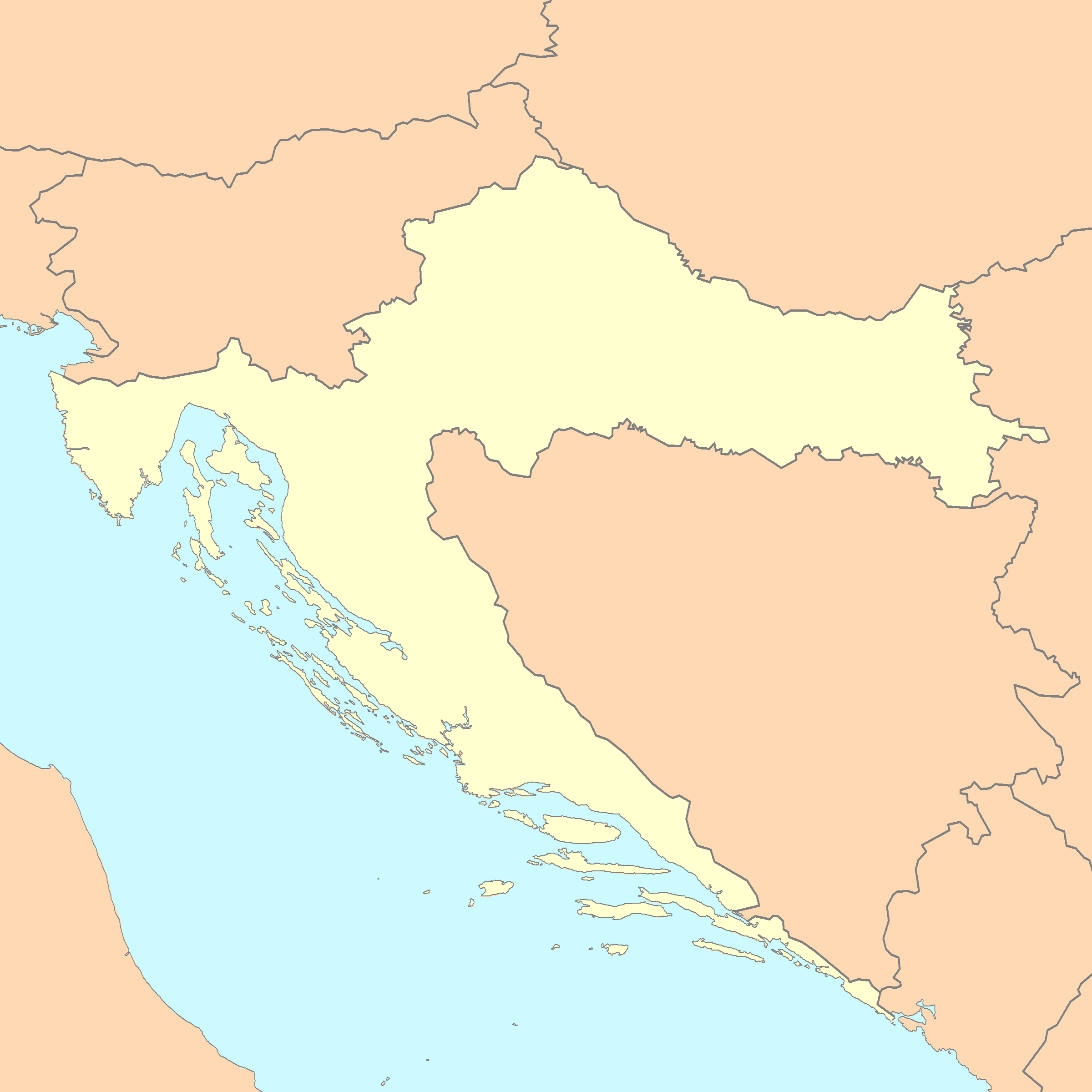
| Description |
A blank map of Croatia |
|---|---|
| Source |
Reference map provided by Demis Mapper 6, enhanced using Corel Photo-Paint 12 |
| Date |
January 4, 2007 |
| Author | |
| Permission (Reusing this image) |
See below |
 A vector version of this image (SVG) is available. For more information about vector graphics, read about Commons transition to SVG. Български | Deutsch | English | Español | Français | Galego | עברית | Magyar | Bahasa Indonesia | Italiano | 日本語 | 한국어 | Lietuvių | Polski | Português | Русский | Српски / Srpski | Українська | 中文(简体) | 中文(繁體) | +/- |
 |
[edit] Licensing
| This image is in the public domain because came from the site http://www.demis.nl/home/pages/Gallery/examples.htm and was released by the copyright holder. Permission is granted to copy, distribute and/or modify this map since it is based on free of copyright images from: www.demis.nl. See also approval email on de.wp and its clarification. |
| This work is based on a work in the public domain. It has been digitally enhanced and/or modified. This derivative work has been (or is hereby) released into the public domain by its author, Minestrone. This applies worldwide. In some countries this may not be legally possible; if so: |
| This file is licensed under Creative Commons Attribution 2.5 License In short: you are free to distribute and modify the file as long as you attribute its author(s) or licensor(s). |
Historique du fichier
Cliquer sur une date et une heure pour voir le fichier tel qu’il était à ce moment-là
| Date et heure | Dimensions | Utilisateur | Commentaire | |
|---|---|---|---|---|
| actuel | 4 janvier 2007 à 01:44 | 2 400×2 400 (281 Kio) | Minestrone | |
| 28 avril 2006 à 16:22 | 2 631×2 170 (462 Kio) | E.coli | ({{Information| |Description=A blank map of Croatia, with country outline and coastline; contact the author for help with modifications or add-ons |Source=Reference map provided by Demis Mapper 6 |Date=2006-28-04 |Author=E.coli |Permiss) | |
| 28 avril 2006 à 15:47 | 3 132×2 170 (242 Kio) | E.coli | ({{Information| |Description=A blank map of Croatia, with country outline and coastline |Source=Reference map provided by Demis Mapper 6 |Date=2006-28-04 |Author=E.coli |Permission= |other_versions= }}) |
Pages contenant l’image
Les pages ci-dessous contiennent cette image :
- Dubrovnik
- Zagreb
- Split
- Rijeka
- Varaždin
- Karlovac
- Trogir
- Osijek
- Zadar
- Senj
- Rovinj
- Parc national de Krka
- Vukovar
- Knin
- Požega
- Opatija
- Modèle:Infobox Ville de Croatie
- Parc national de Paklenica
- Kali (Ugljan)
- Đakovo (Croatie)
- Novi Marof
- Cavtat
- Modèle:Géolocalisation/Croatie
- Mokro Polje
- Parc national de Risnjak
- Parc national de Brijuni
- Parc national de Mljet
- Bjelovar
- Koprivnica (Croatie)
- Jastrebarsko
- Gospić
- Čakovec
- Slunj
- Brinje
- Lipice
- Samobor
- Karlobag
- Letinac
- Vrhovine (Lika-Senj)
- Primošten

