Image:Wfm loch leven.png
Un article de Wikipédia, l'encyclopédie libre.
Taille de cet aperçu : 800 × 593 pixels
Image en plus haute résolution (1 280 × 948 pixels, taille du fichier : 2,37 Mio, type MIME : image/png)
| | Ce fichier provient de Wikimedia Commons?. Les informations le concernant sont affichées ci-dessous (procédure). |
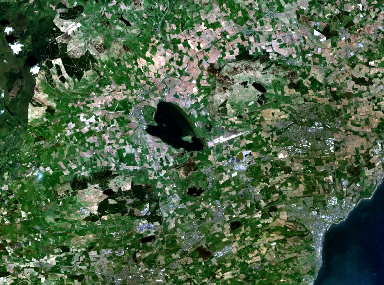
| Description |
Loch Leven and central Fife in Scotland. |
|||
|---|---|---|---|---|
| Source |
NASA World Wind |
|||
| Date |
unknown (montage of various photgraphs) |
|||
| Author |
NASA Landsat |
|||
| Permission (Reusing this image) |
|
Historique du fichier
Cliquer sur une date et une heure pour voir le fichier tel qu’il était à ce moment-là
| Date et heure | Dimensions | Utilisateur | Commentaire | |
|---|---|---|---|---|
| actuel | 16 avril 2006 à 19:37 | 1 280×948 (2,37 Mio) | Finlay McWalter | ({{Information| |Description=Loch Leven and western Fife in Scotland |Source=NASA World Wind |Date=unknown (montage of various photgraphs) |Author=NASA Landsat |Permission={{PD-WorldWind}} |other_versions= }}) |
Pages contenant l’image
La page ci-dessous contient cette image :

