Image:Tavolara Island map.png
Un article de Wikipédia, l'encyclopédie libre.
Taille de cet aperçu : 789 × 600 pixels
Image en plus haute résolution (1 200 × 912 pixels, taille du fichier : 248 Kio, type MIME : image/png)
| | Ce fichier provient de Wikimedia Commons?. Les informations le concernant sont affichées ci-dessous (procédure). |
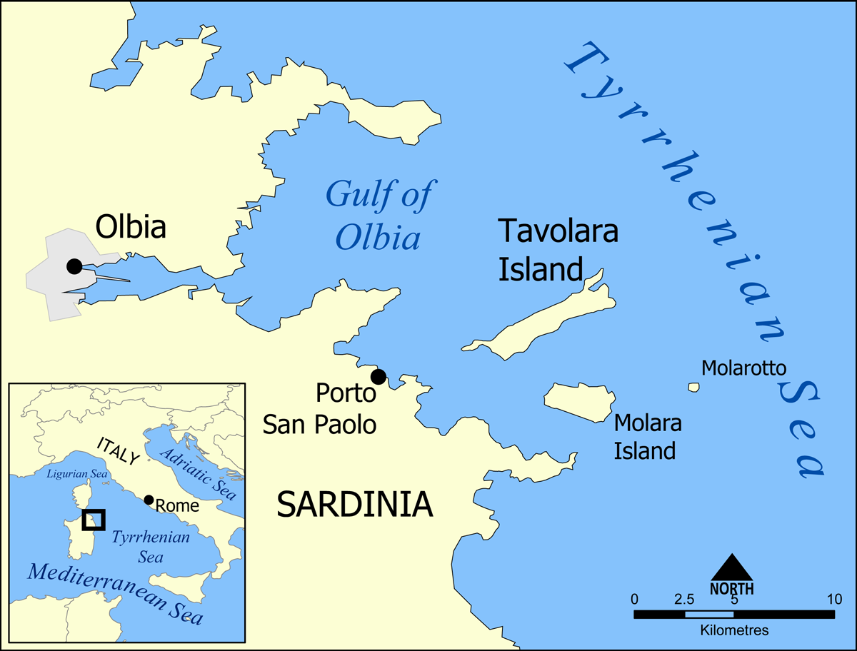
This is a map showing the location of Tavolara Island and Molara Island, off the coast of Sardinia, Italy.
Created by NormanEinstein, May 17, 2005.

Historique du fichier
Cliquer sur une date et une heure pour voir le fichier tel qu’il était à ce moment-là
| Date et heure | Dimensions | Utilisateur | Commentaire | |
|---|---|---|---|---|
| actuel | 7 mai 2007 à 21:02 | 1 200×912 (248 Kio) | NormanEinstein | (Corrected typo.) |
| 19 janvier 2006 à 15:56 | 1 000×760 (267 Kio) | NormanEinstein | (Corrected typo.) | |
| 25 mai 2005 à 16:17 | 700×532 (170 Kio) | NormanEinstein | (Added Molarotto island.) | |
| 17 mai 2005 à 20:25 | 700×532 (165 Kio) | NormanEinstein | ||
| 17 mai 2005 à 19:58 | 700×534 (165 Kio) | NormanEinstein | (This is a map showing the location of Tavolara Island and Molara Island, off the coast of Sardinia, Italy. Created by NormanEinstein, May 17, 2005. {{PD-self}} Category:Islands of Italy) |
Pages contenant l’image
La page ci-dessous contient cette image :

