Image:Syria outline map.png
Un article de Wikipédia, l'encyclopédie libre.
Pas de plus haute résolution disponible.
Syria_outline_map.png (660 × 600 pixels, taille du fichier : 7 Kio, type MIME : image/png)
| | Ce fichier provient de Wikimedia Commons?. Les informations le concernant sont affichées ci-dessous (procédure). |
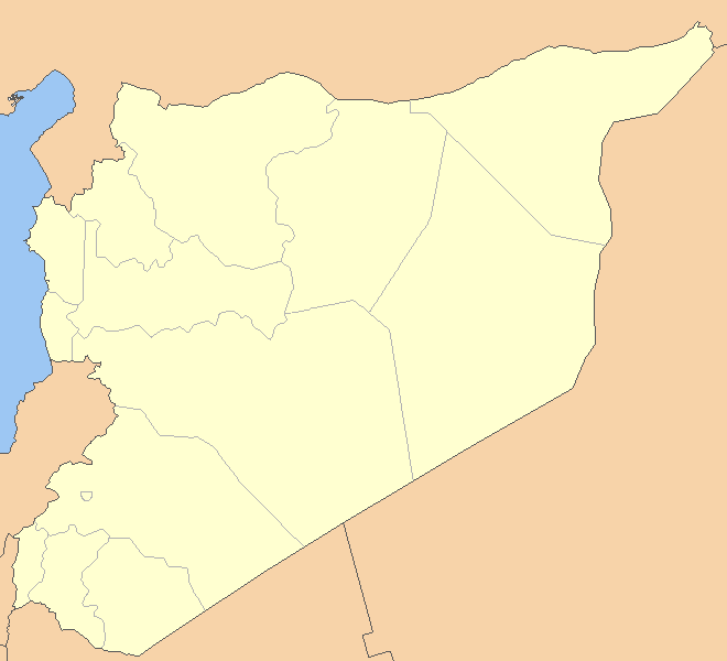
| Description |
no original description |
|---|---|
| Source |
Originally from en.wikipedia; description page is/was here. |
| Date |
2007-05-29 (first version); 2007-05-29 (last version) |
| Author |
Original uploader was ChrisO at en.wikipedia |
| Permission (Reusing this image) |
Released into the public domain (by the author). |
[edit] License information
| This image has been (or is hereby) released into the public domain by its author, ChrisO at the wikipedia project. This applies worldwide. In case this is not legally possible: |
[edit] Original upload log
(All user names refer to en.wikipedia)
- 2007-05-29 20:04 ChrisO 660×600×8 (6697 bytes)
- 2007-05-29 18:58 ChrisO 660×600×8 (4132 bytes) == Summary == {{Information| |Description=A blank map of Iraq, with country outline and coastline; contact the author for help with modifications or add-ons |Source=Reference map provided by Demis Mapper 6 |Date=2006-22-06 |Author=[[User:ChrisO]] |Permiss
- 2007-05-29 18:56 ChrisO 660×600×8 (4127 bytes) == Summary == {{Information| |Description=A blank map of Iraq, with country outline and coastline; contact the author for help with modifications or add-ons |Source=Reference map provided by Demis Mapper 6 |Date=2006-22-06 |Author=[[User:ChrisO]] |Permiss
Historique du fichier
Cliquer sur une date et une heure pour voir le fichier tel qu’il était à ce moment-là
| Date et heure | Dimensions | Utilisateur | Commentaire | |
|---|---|---|---|---|
| actuel | 14 juin 2007 à 22:57 | 660×600 (7 Kio) | Obersachse | ({{Information |Description=''no original description'' |Source=Originally from [http://en.wikipedia.org en.wikipedia]; description page is/was [http://en.wikipedia.org/w/index.php?title=Image%3ASyria_outline_map.png here].<br/> (Original text : ''Referenc) |
Pages contenant l’image
La page ci-dessous contient cette image :

