Image:Solway Firth map.png
Un article de Wikipédia, l'encyclopédie libre.
Taille de cet aperçu : 800 × 498 pixels
Image en plus haute résolution (1 000 × 622 pixels, taille du fichier : 320 Kio, type MIME : image/png)
| | Ce fichier provient de Wikimedia Commons?. Les informations le concernant sont affichées ci-dessous (procédure). |
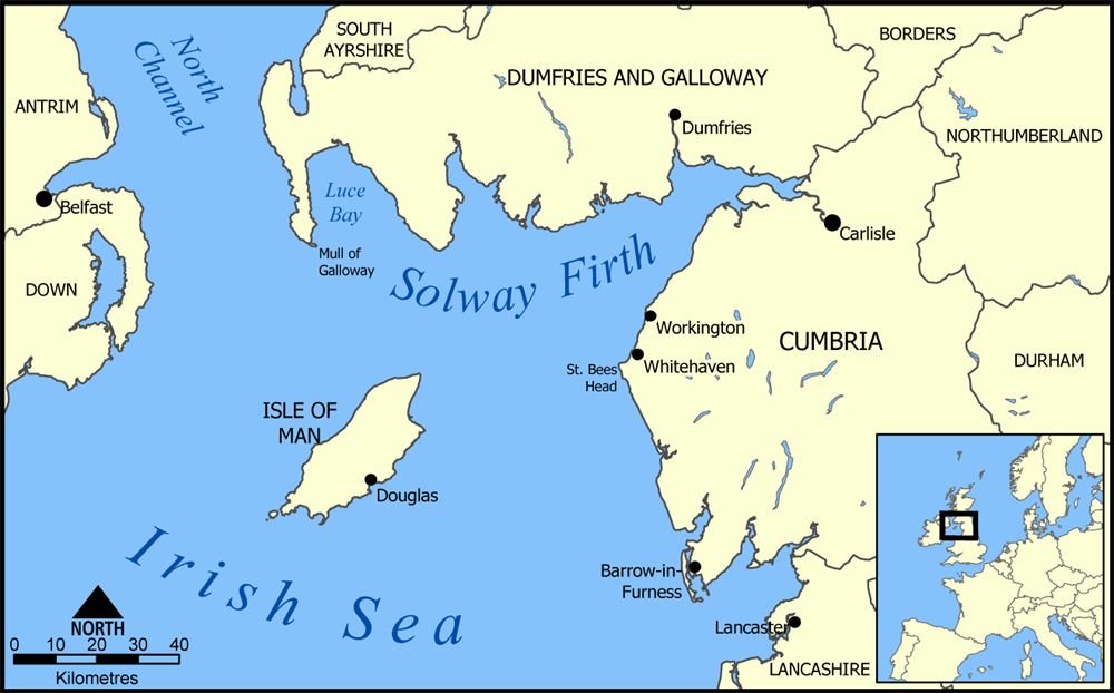
A map showing the location of Solway Firth between England and Scotland in the United Kingdom.
Created by NormanEinstein, August 11, 2005.

Historique du fichier
Cliquer sur une date et une heure pour voir le fichier tel qu’il était à ce moment-là
| Date et heure | Dimensions | Utilisateur | Commentaire | |
|---|---|---|---|---|
| actuel | 11 août 2005 à 22:27 | 1 000×622 (320 Kio) | NormanEinstein | (A map showing the location of Solway Firth between England and Scotland in the United Kingdom. Created by NormanEinstein, August 11, 2005. {{GFDL-self}} Category:Maps of the United Kingdom) |
Pages contenant l’image
La page ci-dessous contient cette image :

