Image:Socotra satview.jpg
Un article de Wikipédia, l'encyclopédie libre.
Taille de cet aperçu : 800 × 593 pixels
Image en plus haute résolution (1 280 × 948 pixels, taille du fichier : 159 Kio, type MIME : image/jpeg)
| | Ce fichier provient de Wikimedia Commons?. Les informations le concernant sont affichées ci-dessous (procédure). |
[edit] Summary
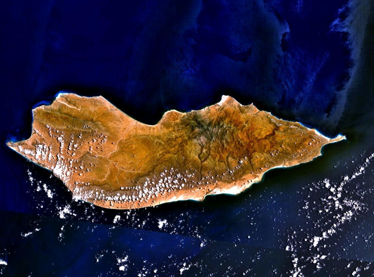
| Description |
Satellite image over Socotra island |
|---|---|
| Source |
made using NASA World Wind using Landsat imagery. |
| Date | |
| Author | |
| Permission (Reusing this image) |
see below |
[edit] Licensing
| This image is in the public domain because it is a screenshot from NASA’s globe software World Wind using Blue Marble, Landsat or USGS layer, all of which are in public domain. |
|
|
|
This file is in the public domain because it was created by NASA. NASA copyright policy states that "NASA material is not protected by copyright unless noted". (NASA copyright policy page or JPL Image Use Policy).
Deutsch | English | Español | Français | Nederlands | Português | Русский | 中文(简体) | 中文(繁體) | +/- |
|
 |
Warnings:
|
[edit] Original upload log
The original description page is/was here. All following user names refer to en.wikipedia.
- 2005-07-15 18:16 Finlay McWalter 1280×948×8 (163257 bytes) Satellite image of [[Socotra]], made using [[NASA World Wind]] using [[Landsat]] imagery. {{PD-USGov-NASA}}
Historique du fichier
Cliquer sur une date et une heure pour voir le fichier tel qu’il était à ce moment-là
| Date et heure | Dimensions | Utilisateur | Commentaire | |
|---|---|---|---|---|
| actuel | 7 janvier 2007 à 18:16 | 1 280×948 (159 Kio) | EskoG | ({{Information |Description= Satellite image over Socotra island |Source=NASA Landsat |Date= 7.1.2007 |Author= |Permission= |other_versions= }}) |
Pages contenant l’image
La page ci-dessous contient cette image :

