Image:Rockingham-Exeter-NH.png
Un article de Wikipédia, l'encyclopédie libre.
Pas de plus haute résolution disponible.
Rockingham-Exeter-NH.png (600 × 481 pixels, taille du fichier : 12 Kio, type MIME : image/png)
| | Ce fichier provient de Wikimedia Commons?. Les informations le concernant sont affichées ci-dessous (procédure). |
| Description |
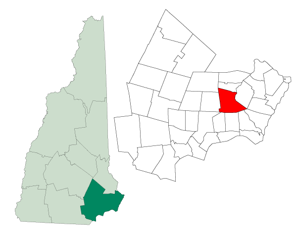
Map of a municipality in Rockingham County, New Hampshire |
||
|---|---|---|---|
| Source |
Created from Boundary/Border Outline Files of the Libre Map Project which held a BY-SA creative commons license. Data origionally from 2000 US Census boundary data. |
||
| Date |
August 1, 2006 |
||
| Author |
Andrew Sawyer |
||
| Permission (Reusing this image) |
Originally - CC-BY-SA-2.0
|
Historique du fichier
Cliquer sur une date et une heure pour voir le fichier tel qu’il était à ce moment-là
| Date et heure | Dimensions | Utilisateur | Commentaire | |
|---|---|---|---|---|
| actuel | 23 août 2006 à 23:32 | 600×481 (12 Kio) | SatyrTN | ({{Information| |Description=Map of a municipality in Rockingham County, New Hampshire |Source=Created from [http://libre.redjar.org/maps/data/boundary/ Boundary/Border Outline Files] of the Libre Map Project which held a [http://creativecommons.org/licens) |
Pages contenant l’image
La page ci-dessous contient cette image :

