Image:LocationPolarRegions.png
Un article de Wikipédia, l'encyclopédie libre.
Taille de cet aperçu : 800 × 407 pixels
Image en plus haute résolution (2 759 × 1 404 pixels, taille du fichier : 51 Kio, type MIME : image/png)
| | Ce fichier provient de Wikimedia Commons?. Les informations le concernant sont affichées ci-dessous (procédure). |
[edit] Summary
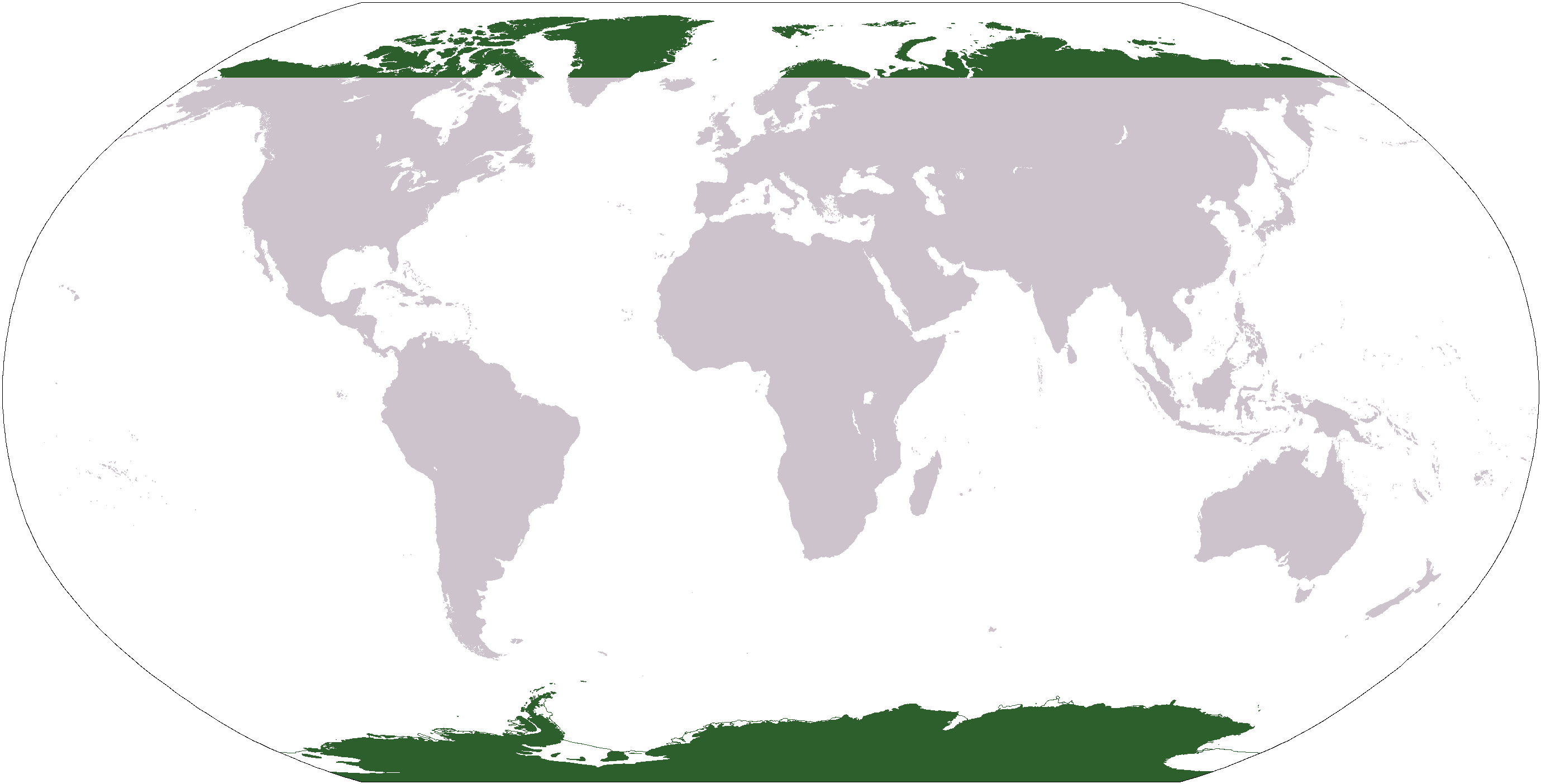
Map indicating the world's polar regions (i.e. Antarctica and area within Arctic Circle), based on Image:LocationAntarctica.png.
[edit] Licensing
| This image is in the public domain because it contains materials that originally came from the United States Central Intelligence Agency's World Factbook.
Deutsch | English | Español | Français | 日本語 | Nederlands | 한국어 | Português | தமிழ் | Magyar | +/- |
 |
Historique du fichier
Cliquer sur une date et une heure pour voir le fichier tel qu’il était à ce moment-là
| Date et heure | Dimensions | Utilisateur | Commentaire | |
|---|---|---|---|---|
| actuel | 31 mars 2006 à 06:31 | 2 759×1 404 (51 Kio) | E Pluribus Anthony | (Map indicating the world's polar regions (i.e. Antarctica and area within Arctic Circle), derived on Image:LocationAntarctica.png) |
| 31 mars 2006 à 05:42 | 2 759×1 404 (55 Kio) | David Kernow | (Map indicating the world's polar regions (i.e. Antarctica and area within Arctic Circle), derived on Image:LocationAntarctica.png. ) |
Pages contenant l’image
Les pages ci-dessous contiennent cette image :

