Image:Ligurian Sea map.png
Un article de Wikipédia, l'encyclopédie libre.
Pas de plus haute résolution disponible.
Ligurian_Sea_map.png (600 × 505 pixels, taille du fichier : 145 Kio, type MIME : image/png)
| | Ce fichier provient de Wikimedia Commons?. Les informations le concernant sont affichées ci-dessous (procédure). |
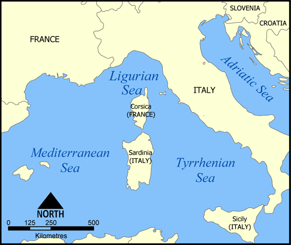
A map showing the location of the Ligurian Sea.
Created by NormanEinstein, May 20, 2005.

Historique du fichier
Cliquer sur une date et une heure pour voir le fichier tel qu’il était à ce moment-là
| Date et heure | Dimensions | Utilisateur | Commentaire | |
|---|---|---|---|---|
| actuel | 20 mai 2005 à 18:40 | 600×505 (145 Kio) | NormanEinstein | (A map showing the location of the Ligurian Sea. Created by NormanEinstein, May 20, 2005. {{GFDL-self}} Category:Maps of Seas) |
Pages contenant l’image
La page ci-dessous contient cette image :

