Image:Kvarner gulf map.png
Un article de Wikipédia, l'encyclopédie libre.
Pas de plus haute résolution disponible.
Kvarner_gulf_map.png (401 × 584 pixels, taille du fichier : 47 Kio, type MIME : image/png)
| | Ce fichier provient de Wikimedia Commons?. Les informations le concernant sont affichées ci-dessous (procédure). |
| Description |
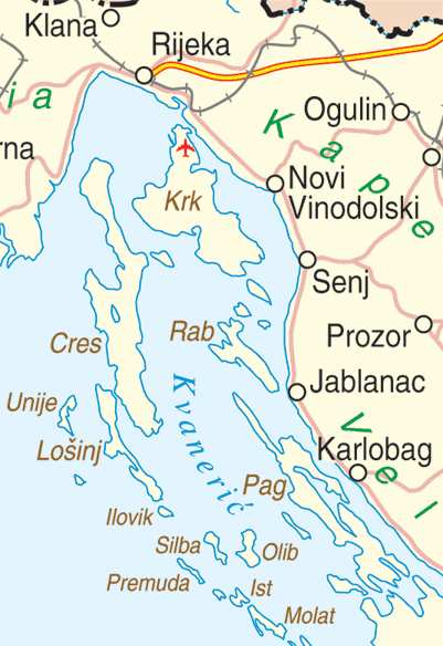
Map of the Kvarner Gulf, Croatia |
|||
|---|---|---|---|---|
| Source |
http://www.un.org/Depts/Cartographic/map/profile/croatia.pdf |
|||
| Date |
June, 2004 |
|||
| Author |
Department of Peacekeeping Operations Cartographic Section |
|||
| Permission (Reusing this image) |
|

Historique du fichier
Cliquer sur une date et une heure pour voir le fichier tel qu’il était à ce moment-là
| Date et heure | Dimensions | Utilisateur | Commentaire | |
|---|---|---|---|---|
| actuel | 30 septembre 2005 à 22:07 | 401×584 (47 Kio) | MRB | (Map of the Kvarner Gulf, Croatia Extracted from http://www.un.org/Depts/Cartographic/map/profile/croatia.pdf {{PD}}) |
Pages contenant l’image
La page ci-dessous contient cette image :

