Image:KiskaMap.jpg
Un article de Wikipédia, l'encyclopédie libre.

Taille de cet aperçu : 666 × 599 pixels
Image en plus haute résolution (1 000 × 900 pixels, taille du fichier : 248 Kio, type MIME : image/jpeg)
| | Ce fichier provient de Wikimedia Commons?. Les informations le concernant sont affichées ci-dessous (procédure). |
| Description |
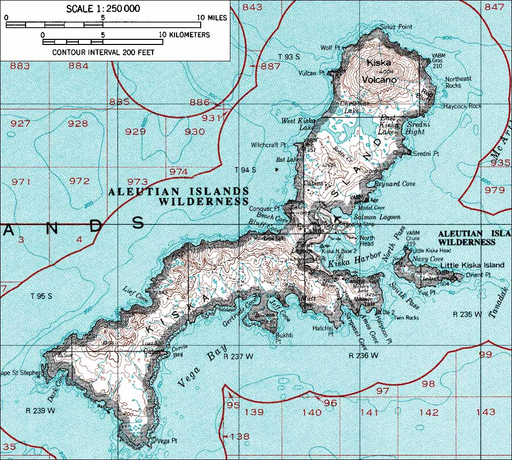
USGS map |
|---|---|
| Source |
http://www.skimountaineer.com/ROF/NorAm/Kiska/KiskaMap.jpg Originally from en.wikipedia; description page is/was here. |
| Date |
2004-08-06 (original upload date) |
| Author |
Original uploader was Foriskak at en.wikipedia |
| Permission (Reusing this image) |
PD-USGS; PD-USGOV-INTERIOR-USGS. |
[edit] License information
| This image is in the public domain because it contains materials that originally came from the United States Geological Survey, an agency of the United States Department of Interior. For more information, see the official USGS copyright policy |
|
[edit] Original upload log
(All user names refer to en.wikipedia)
- 2004-08-06 23:55 Foriskak 1000×900×8 (253710 bytes) from <http://www.skimountaineer.com/ROF/NorAm/Kiska/KiskaMap.jpg> USGS map {{noncommercial}}
Historique du fichier
Cliquer sur une date et une heure pour voir le fichier tel qu’il était à ce moment-là
| Date et heure | Dimensions | Utilisateur | Commentaire | |
|---|---|---|---|---|
| actuel | 6 avril 2007 à 18:53 | 1 000×900 (248 Kio) | Vaya | ({{Information |Description=from <http://www.skimountaineer.com/ROF/NorAm/Kiska/KiskaMap.jpg> USGS map |Source=Originally from [http://en.wikipedia.org en.wikipedia]; description page is/was [http://en.wikipedia.org/w/index.php?title=Image%3AKiskaMap.jpg h) |
Pages contenant l’image
La page ci-dessous contient cette image :

