Image:Humboldt Bay and Eureka aerial view.jpg
Un article de Wikipédia, l'encyclopédie libre.
Taille de cet aperçu : 800 × 534 pixels
Image en plus haute résolution (1 500 × 1 001 pixels, taille du fichier : 616 Kio, type MIME : image/jpeg)
| | Ce fichier provient de Wikimedia Commons?. Les informations le concernant sont affichées ci-dessous (procédure). |
| Description |
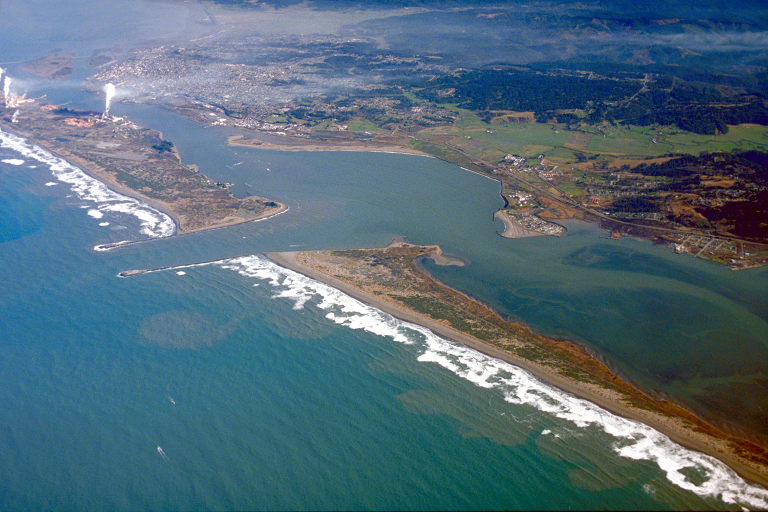
English: Aerial view of Humboldt Bay and the city of Eureka in Humboldt County, California, USA. View is to the northeast.
Coordinates: 40°45′13.53″N, 124°12′54.73″W |
|||
|---|---|---|---|---|
| Source |
U.S. Army Corps of Engineers Digital Visual Library |
|||
| Date |
not specified or unknown |
|||
| Author |
Robert Campbell, U.S. Army Corps of Engineers |
|||
| Permission (Reusing this image) |
|
Historique du fichier
Cliquer sur une date et une heure pour voir le fichier tel qu’il était à ce moment-là
| Date et heure | Dimensions | Utilisateur | Commentaire | |
|---|---|---|---|---|
| actuel | 3 mai 2007 à 03:38 | 1 500×1 001 (616 Kio) | DanMS | ({{Information | Description = {{en|Aerial view of Humboldt Bay and the city of Eureka in Humboldt County, California, USA. View is to the northeast.}} Coordinates: {{Coor dms|40|45|13.53|N|124|12|54.73|W|type:city|display=inline}} | Source = U) |
Pages contenant l’image
La page ci-dessous contient cette image :

