Image:Greater Geelong.png
Un article de Wikipédia, l'encyclopédie libre.
Taille de cet aperçu : 408 × 599 pixels
Image en plus haute résolution (697 × 1 024 pixels, taille du fichier : 1,47 Mio, type MIME : image/png)
| | Ce fichier provient de Wikimedia Commons?. Les informations le concernant sont affichées ci-dessous (procédure). |
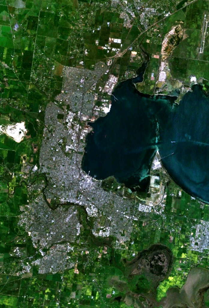
w:Geelong, Victoria and suburbs, including Lara in the north, Grovedale in the south-west and Moolap in the south-east. The western end of Corio Bay, including Point Henry, is visible.
| This image is in the public domain because it is a screenshot from NASA’s globe software World Wind using Blue Marble, Landsat or USGS layer, all of which are in public domain. |
|
Historique du fichier
Cliquer sur une date et une heure pour voir le fichier tel qu’il était à ce moment-là
| Date et heure | Dimensions | Utilisateur | Commentaire | |
|---|---|---|---|---|
| actuel | 30 décembre 2005 à 06:30 | 697×1 024 (1,47 Mio) | Thebainer | (w:Geelong, Victoria and suburbs, including Lara in the north, Grovedale in the south-west and Moolap in the south-east. The western end of Corio Bay, including Point Henry, is visible. {{PD-WorldWind}}) |
Pages contenant l’image
La page ci-dessous contient cette image :

