Image:Europe countries map fr.png
Un article de Wikipédia, l'encyclopédie libre.
Taille de cet aperçu : 737 × 600 pixels
Image en plus haute résolution (1 475 × 1 200 pixels, taille du fichier : 612 Kio, type MIME : image/png)
| | Ce fichier provient de Wikimedia Commons?. Les informations le concernant sont affichées ci-dessous (procédure). |
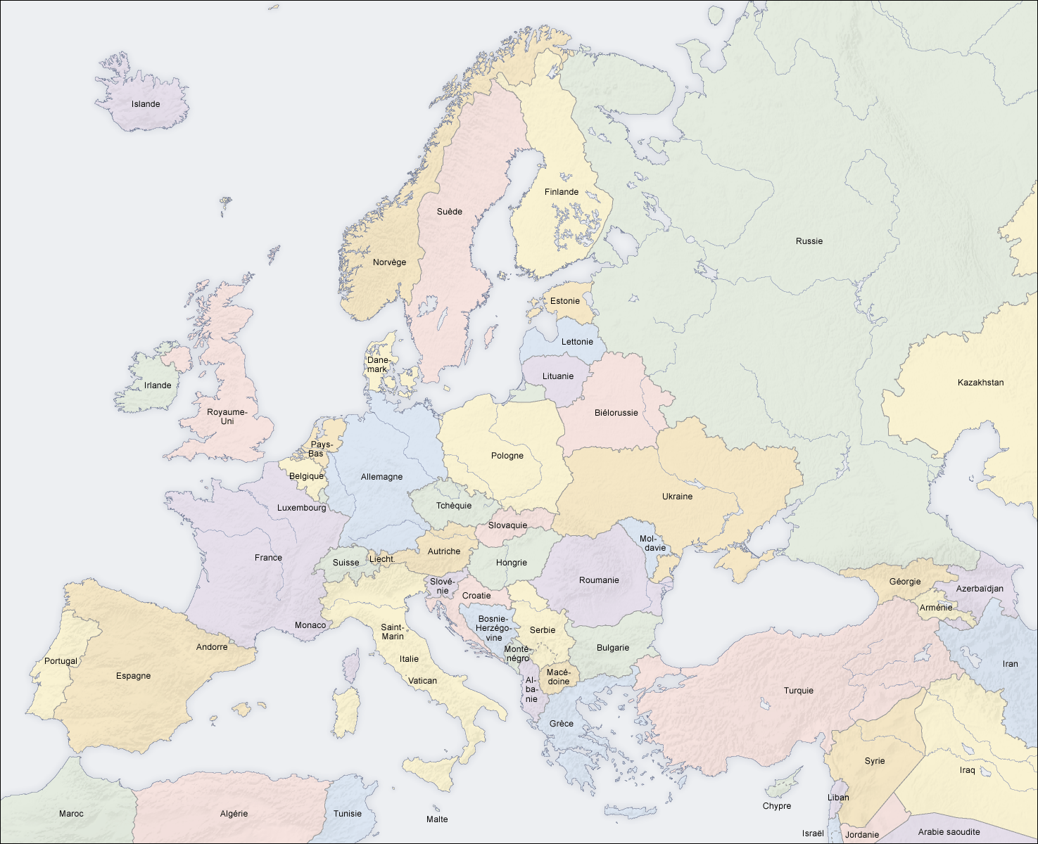
Description
- Description: pays en Europe, carte fr
- Source: carte créée par l'utilisateur, à partir des Generic Mapping Tools et de ETOPO2
- Auteur: San Jose, 2 avril 2006
- Autres versions: albanais, allemand, anglais, bosnien, estonien, hongrois, italien, latin, letton, lituanien, slovaque, tchèque, turc, ukrainien, sans texte
Licence
 |
Permission is granted to copy, distribute and/or modify this map under the terms of the GNU Free Documentation License, Version 1.2 or any later version published by the Free Software Foundation; with no Invariant Sections, no Front-Cover Texts, and no Back-Cover Texts. A copy of the license is included in the section entitled "GNU Free Documentation License". The map has been created with the Generic Mapping Tools: http://gmt.soest.hawaii.edu/ using one or more of these public domain datasets for the relief:
|
|
Historique du fichier
Cliquer sur une date et une heure pour voir le fichier tel qu’il était à ce moment-là
| Date et heure | Dimensions | Utilisateur | Commentaire | |
|---|---|---|---|---|
| actuel | 12 juin 2008 à 10:33 | 1 475×1 200 (612 Kio) | San Jose | ( ) |
| 5 juin 2006 à 14:15 | 1 475×1 200 (658 Kio) | San Jose | (updated and corrected) | |
| 2 avril 2006 à 13:17 | 1 475×1 200 (661 Kio) | San Jose | (Upload) |
Pages contenant l’image
Les pages ci-dessous contiennent cette image :

