Image:Bronx Highlight New York City Map Julius Schorzman.png
Un article de Wikipédia, l'encyclopédie libre.
Taille de cet aperçu : 616 × 600 pixels
Image en plus haute résolution (2 652 × 2 582 pixels, taille du fichier : 4,67 Mio, type MIME : image/png)
| | Ce fichier provient de Wikimedia Commons?. Les informations le concernant sont affichées ci-dessous (procédure). |
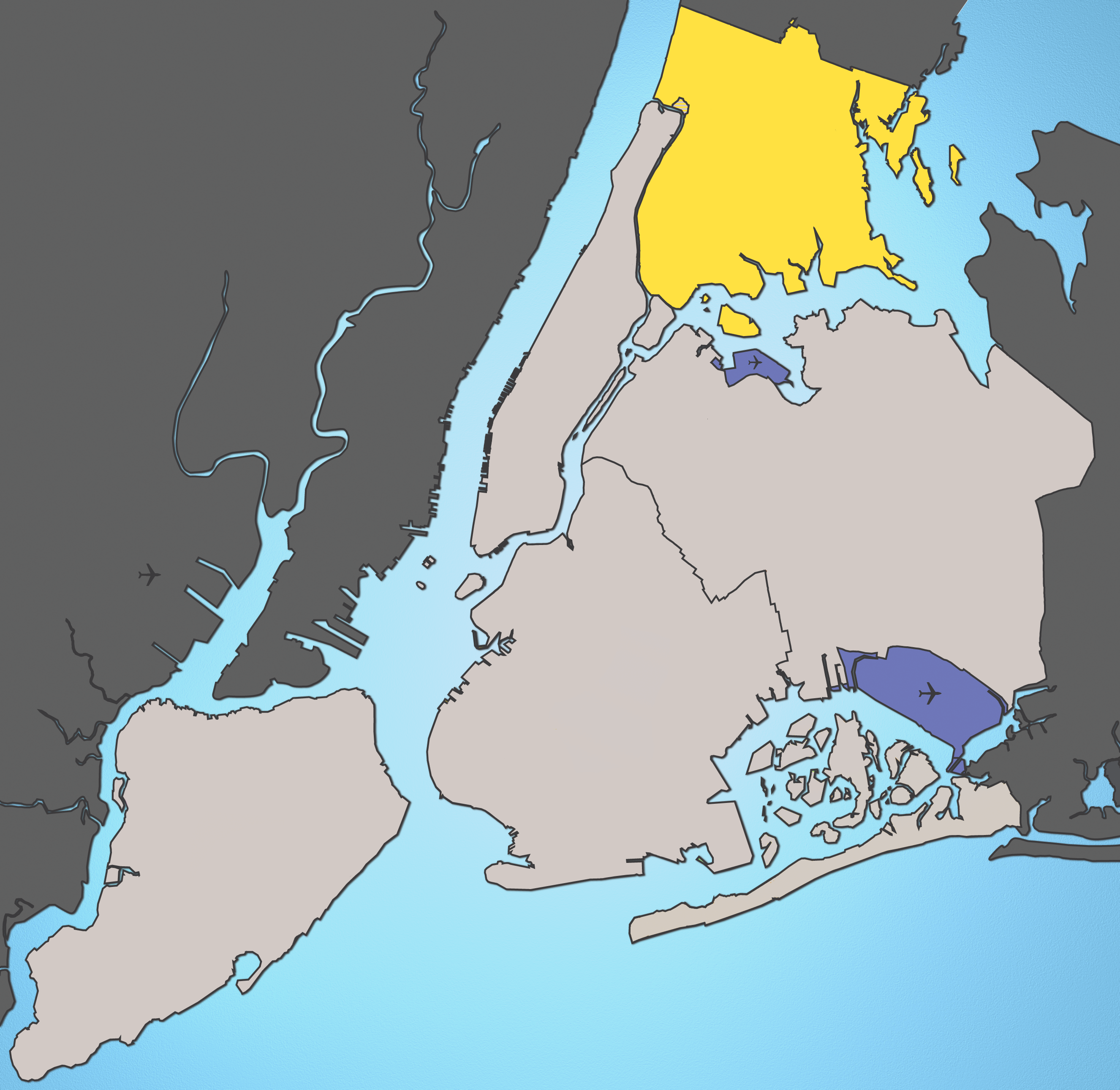
A map of New York City with the Bronx highlighted.
Notes:
- Marble Hill is shown as part Manhattan, part Bronx. See Wikipedia:Marble Hill, Manhattan, New York for more information.
- Several islands (such as Rikers Island) are highlighted since they are governmentally a part of the Bronx
Source: I created this image using various maps and images.
Attribution: Julius Schorzman
| This file is licensed under the Creative Commons Attribution ShareAlike 2.5 License. In short: you are free to share and make derivative works of the file under the conditions that you appropriately attribute it, and that you distribute it only under a license identical to this one. Official license |
\
Historique du fichier
Cliquer sur une date et une heure pour voir le fichier tel qu’il était à ce moment-là
| Date et heure | Dimensions | Utilisateur | Commentaire | |
|---|---|---|---|---|
| actuel | 19 août 2005 à 04:01 | 2 652×2 582 (4,67 Mio) | Quasipalm | (A map of New York City with the Bronx highlighted. Notes: # '''Marble Hill''' is shown as part Manhattan, part Bronx. See wiki:Marble Hill for more information. # Several islands (such as '''Rikers Island''') are highlighted since they are governmen) |
Pages contenant l’image
La page ci-dessous contient cette image :

