Image:BeerseLocatie.png
Un article de Wikipédia, l'encyclopédie libre.
Pas de plus haute résolution disponible.
BeerseLocatie.png (270 × 203 pixels, taille du fichier : 5 Kio, type MIME : image/png)
| | Ce fichier provient de Wikimedia Commons?. Les informations le concernant sont affichées ci-dessous (procédure). |
| This file has been released into the public domain by the copyright holder, its copyright has expired, or it is ineligible for copyright. This applies worldwide. | |
Note: This tag is obsolete! Nothing is public domain without a reason. Don't use this generic template - please use instead:
العربية | Български | Česky | Deutsch | English | Español | Français | हिन्दी | Italiano | 日本語 | Norsk (bokmål) | Norsk (nynorsk) | Português | Русский | Slovenčina | Slovenščina | Српски / Srpski | Polski | Türkçe | 中文 | +/- |
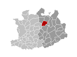
NL; kaart gemaakt door w:nl:gebruiker:LennartBolks en in het publieke domein geplaatst.
EN; map made by w:nl:gebruiker:LennartBolks and it is in the public domain.
Historique du fichier
Cliquer sur une date et une heure pour voir le fichier tel qu’il était à ce moment-là
| Date et heure | Dimensions | Utilisateur | Commentaire | |
|---|---|---|---|---|
| actuel | 11 avril 2006 à 17:25 | 270×203 (5 Kio) | Profoss | (from nl.wiki. {{PD-user|LennartBolks}} Category:Maps of province of Antwerp) |
| 22 décembre 2004 à 18:40 | 270×203 (4 Kio) | Walter |
Pages contenant l’image
La page ci-dessous contient cette image :

