Image:Bay of Biscay map.png
Un article de Wikipédia, l'encyclopédie libre.
Taille de cet aperçu : 657 × 600 pixels
Image en plus haute résolution (1 000 × 913 pixels, taille du fichier : 334 Kio, type MIME : image/png)
| | Ce fichier provient de Wikimedia Commons?. Les informations le concernant sont affichées ci-dessous (procédure). |
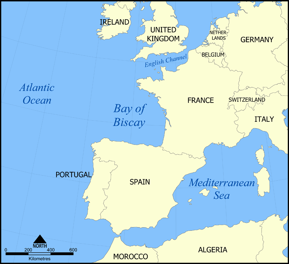
This is a map showing the location of the Bay of Biscay in the North Atlantic Ocean bordered on France and Spain.
Created by NormanEinstein, November 7, 2005

 |
This map image should be recreated using vector graphics as an SVG file. This has several advantages; see Commons:Media for cleanup for more information. If an SVG form of this image is already available, please upload it. After uploading an SVG, replace this template with template {{Vector version available|new image name.svg}} in this image. |
|
العربية | Български | Català | Česky | Dansk | Deutsch | English | Esperanto | Español | Français | 한국어 | Italiano | Magyar | Lietuvių | Nederlands | 日本語 | Polski | Português | Română | Русский | Suomi | Svenska | Türkçe | Українська | Tiếng Việt | मराठी | 中文(繁體) | 中文(简体) | +/- |
|
Historique du fichier
Cliquer sur une date et une heure pour voir le fichier tel qu’il était à ce moment-là
| Date et heure | Dimensions | Utilisateur | Commentaire | |
|---|---|---|---|---|
| actuel | 7 novembre 2005 à 18:44 | 1 000×913 (334 Kio) | NormanEinstein | (This is a map showing the location of the Bay of Biscay in the North Atlantic Ocean bordered on France and Spain. Created by NormanEinstein, November 7, 2005 {{GFDL-self}} Category:Maps of seas) |
Pages contenant l’image
La page ci-dessous contient cette image :

